


Stockton 02A Voting District, Tooele County, Utah
About
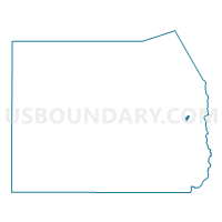
Outline

Summary
| Unique Area Identifier | 680019 |
| Name | Stockton 02A Voting District |
| County | Tooele County |
| State | Utah |
| Area (square miles) | 1.77 |
| Land Area (square miles) | 1.57 |
| Water Area (square miles) | 0.20 |
| % of Land Area | 88.60 |
| % of Water Area | 11.40 |
| Latitude of the Internal Point | 40.44327720 |
| Longtitude of the Internal Point | -112.37574700 |
Maps


Graphs
Select a template below for downloading or customizing gragh for Stockton 02A Voting District, Tooele County, Utah


Neighbors
Neighoring Voting District (by Name) Neighboring Voting District on the Map
- Ophir Voting District, Tooele County, UT
- Rush Valley Voting District, Tooele County, UT
- Stockton 01 Voting District, Tooele County, UT
- Stockton 02B Voting District, Tooele County, UT